About
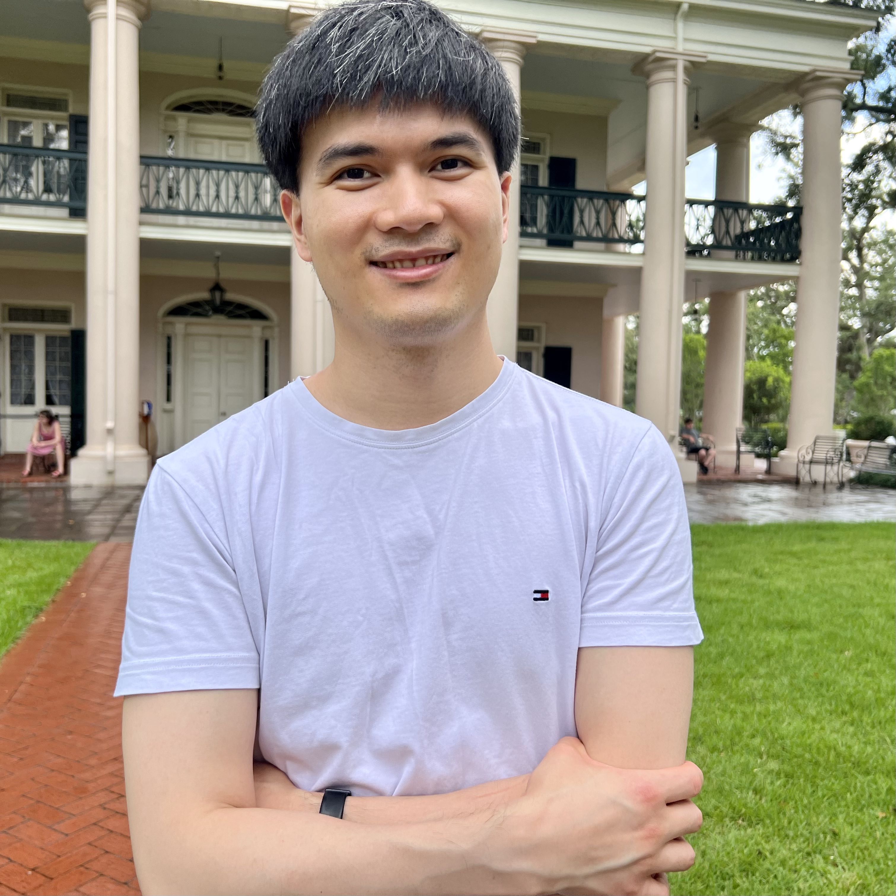
Dr. Bo Peng is a Senior Research Scientist with PAII, the U.S. research lab of Ping An Technology. Previously, he was with X, the Moonshot Factory (formerly Google[x]) as an AI resident and with Los Alamos National Lab (LANL) as an Applied Machine Learning Research Fellow.
His research aims at developing scalable and generalizable machine learning and computer vision models to approach key challenges in remote sensing for global-scale real-time natural disaster response. He has received funding from NSF, Microsoft AI for Earth, American Society for Photogrammetry and Remote Sensing (ASPRS) to support his research for tackling real-world challenges including multimodal satellite data fusion, cloud removal, un-/self-/weakly-supervised learning with label scarcity, change detection, disaster damage mapping, etc.
He received Ph.D. in Geography (Remote Sensing) with a Ph.D. Minor in Electrical Engineering (Machine Learning) at Spatial Computing and Data Mining Lab, University of Wisconsin - Madison (UW-Madison), working with Dr. Qunying Huang, the M.Sc. from Department of Electrical & Computer Engineering at UW-Madison, the M.Sc. from Institute of Remote Sensing and Digital Earth, Chinese Academy of Sciences, and the B.E. from School of Remote Sensing and Information Engineering, Wuhan University.
News
- [06/2022] Double champions in the CVPR 2022 MultiEarth Challenges: Matrix Completion and Image Translation.
- [12/2021] Joined PAII Inc., the U.S. research lab of Ping An Technology, as a Senior Research Scientist, working on computer vision and Remote Sensing.
- [12/2021] Awarded Ph.D. from UW-Madison. Congrats, Dr. Peng!
- [08/2021] Joined X, the Moonshot Factory (formerly Google[x]) as an AI resident.
Selected Publications
Research topics span remote sensing, computer vision, and natural hazards.
-
Bo Peng, Hongchen Liu, Hang Zhou, Yuchuan Gou, Jui-Hsin Lai
CVPR Workshop on Multimodal Learning for Earth and Environment, 2022 -
Yuchuan Gou, Bo Peng, Hongchen Liu, Hang Zhou, Jui-Hsin Lai
CVPR Workshop on Multimodal Learning for Earth and Environment, 2022 -
Boyuan Zou, Bo Peng, Qunying Huang
IEEE International Geoscience and Remote Sensing Symposium (IGARSS), 2022 -
Tianhui Cai, Hongyu Gan, Bo Peng, Qunying Huang, Zhiqiang Zou
IEEE International Geoscience and Remote Sensing Symposium (IGARSS), 2022 -
Bo Peng, Qunying Huang*, Jinmeng Rao
IEEE International Geoscience and Remote Sensing Symposium (IGARSS), 2021 -
Bo Peng, Qunying Huang, Jamp Vongkusolkit, Song Gao, Daniel B. Wright, Zheng N. Fang, Yi Qiang
IEEE Journal of Selected Topics in Applied Earth Observations and Remote Sensing (J-STARS), 2021 -
Bo Peng, Zonglin Meng, Qunying Huang, Caixia Wang
Remote Sensing, 2019 -
Bo Peng, Xinyi Liu, Zonglin Meng, Qunying Huang
3rd ACM SIGSPATIAL Workshop on AI for Geographic Knowledge Discovery (GeoAI), 2019 -
Lifu Zhang, Bo Peng, Feizhou Zhang, Lizhe Wang, Hongming Zhang, Peng Zhang, Qingxi Tong
IEEE Journal of Selected Topics in Applied Earth Observations and Remote Sensing (J-STARS), 2017 -
Bo Peng, Lifu Zhang, Taixia Wu, Hongming Zhang
IEEE International Geoscience and Remote Sensing Symposium (IGARSS), 2016
Awards
- Microsoft AI for Earth Grant, 2020-2022
- Olmstead Award for Outstanding Publication, UW-Madison Geography Dept., 2021
- Applied Machine Learning Research Fellowship, Los Alamos National Laboratory (LANL), 2020
- Fischer Scholarship, American Society for Photogrammetry and Remote Sensing (ASPRS), 2020
- NSF Travel Award, 2019
Services
Conference Reviewer- GeoAI’22 (The 5th International ACM SIGSPATIAL Workshop on AI for Geographic Knowledge Discovery)
- European Conference on Computer Vision (ECCV) 2022
- The IEEE/CVF Computer Vision and Pattern Recognition Conference (CVPR) 2022
- IEEE International Geoscience and Remote Sensing Symposium (IGARSS) (2020-2022)
- International Journal of Applied Earth Observation and Geoinformation
- IEEE Geoscience and Remote Sensing Letters (GRSL)
- Journal of Hydrology
- Natural Hazards
- International Journal of Digital Earth (IJDE)
- Environmental Modelling and Software
- Automation in Construction
- IEEE International Geoscience and Remote Sensing Symposium (IGARSS) (2021)
- AAG Geospatial Artificial Intelligence for Natural Hazards (2022)
- AAG Remote Sensing Specialty Group Student Illustrated Paper Competition (2022)
Misc
- CS/ECE/ME 532 - Matrix Methods in Machine Learning, TA (2019-2020)
- GEOG 377 - Intro to Geographic Information Systems, Lecturer (Summer 2020), TA (Spring 2019)
- GEOG 574 - Spatial Database, TA (Fall 2018)
Web stats: hits!
© 2021 Bo Peng. All Rights Reserved.


